
Field Diary
The field work in Shantipur, Nadia, began with a volunteer team of six college students from various disciplines, united by a shared interest in addressing the environmental degradation they observed daily.
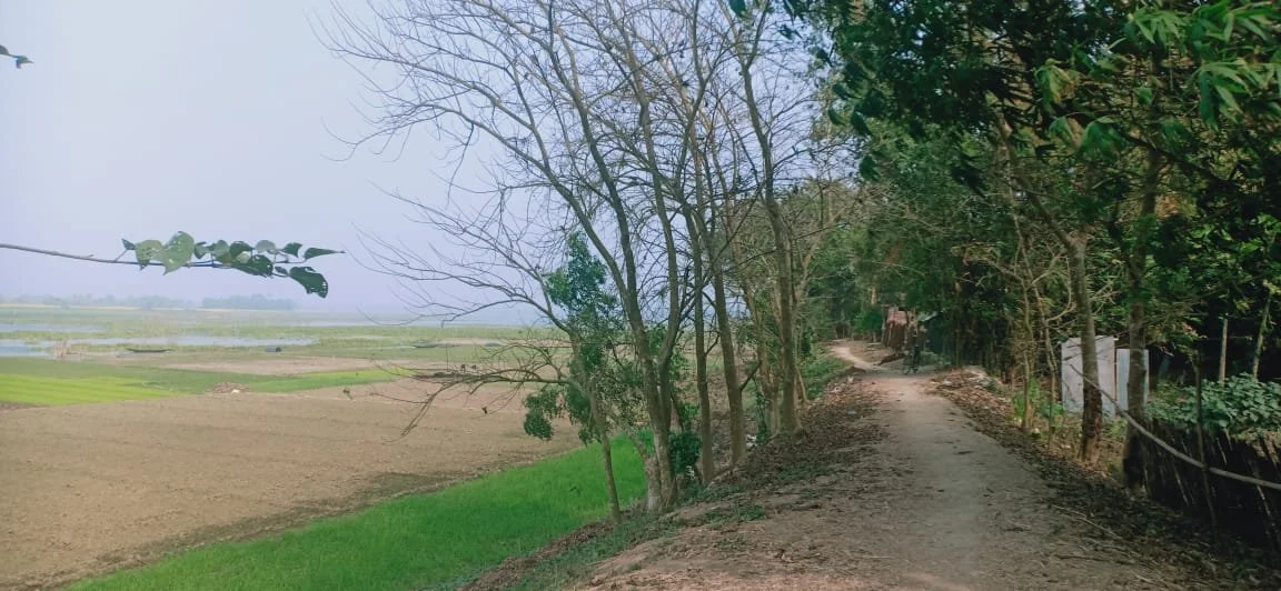
By the riverbank
Site 1 (December 2024-February 2025)
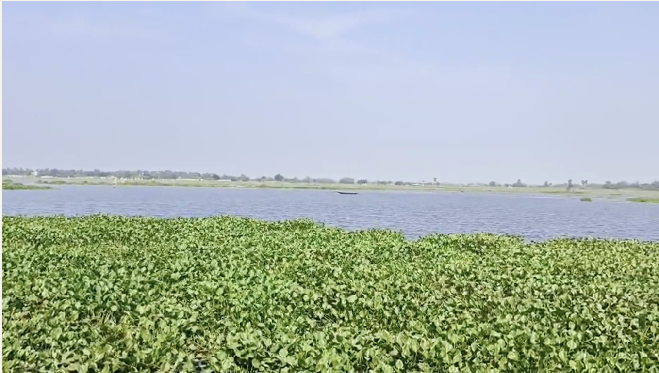
The oxbow lake, the focus of the study, was found to have significantly shrunk over time. A kilometer-long stretch along the banks is now being used for agriculture, and even the remaining water body was almost completely covered by water hyacinth.
The local farmers reported that the oxbow lake formed after the construction of the Farakka Barrage. However, the lake is now experiencing significant drying due to siltation. The recent proliferation of water hyacinth has reportedly degraded the water quality and negatively impacted the fish population.
There are additional concerns about the quality of drinking water from tube wells, particularly among residents on the western side of the island, which is formed by the lake. During the visit, numerous villagers expressed concern regarding the arsenic contamination of their drinking water. They noted that the water has a distinct fishy odor and develops a reddish tint after being left exposed. The village relies on a single government tubewell, which is inconveniently located for many residents. As a result, many households are compelled to purchase drinking water
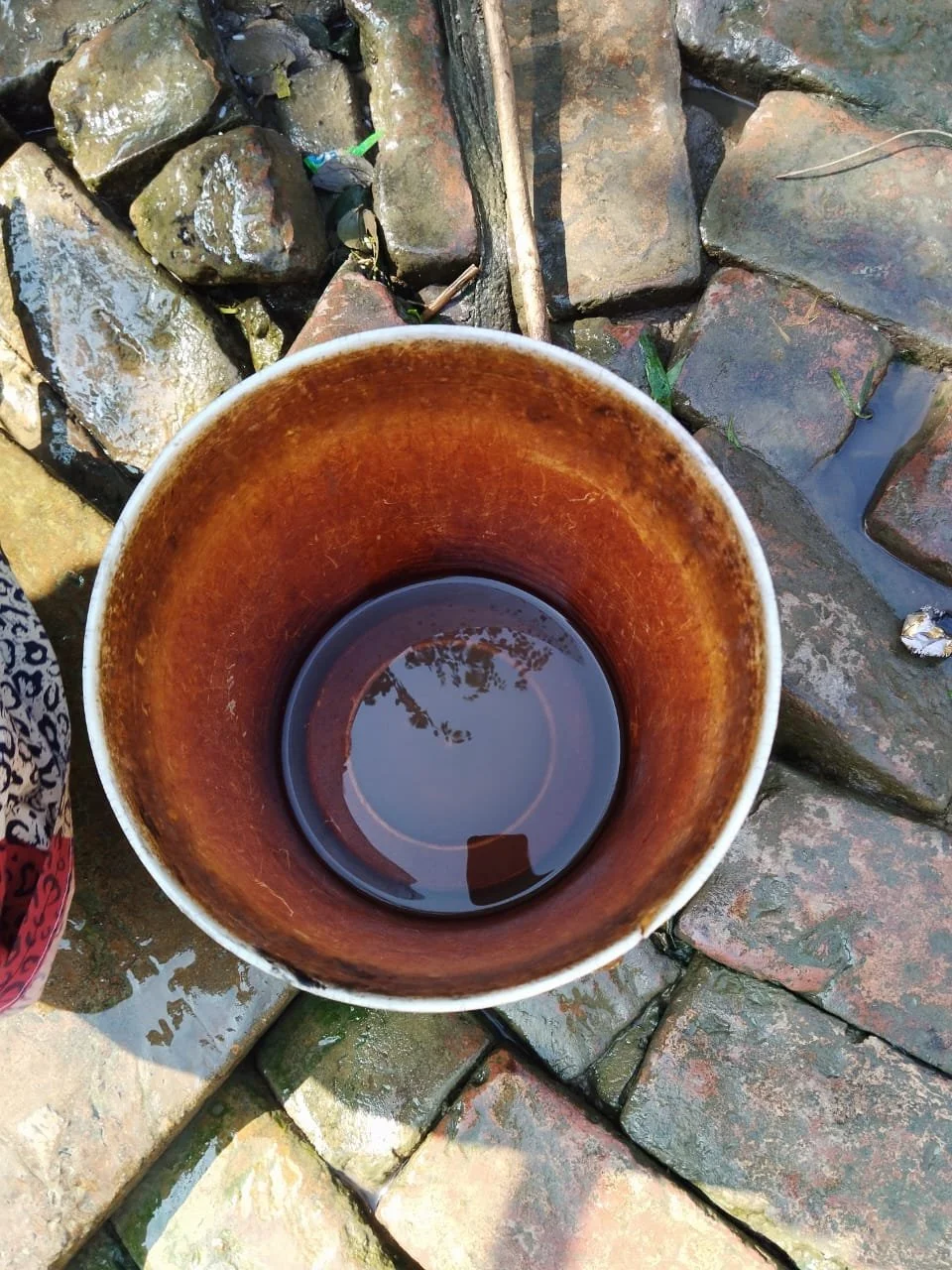
The bucket has turned red in colour, probably due to high iron content in the water
Despite known water quality concerns, several households in the western section continue to use water from their household tubewells for both drinking and general household purposes. Some villagers reported that water from their household tubewells frequently causes skin ailments.
Site 2 (March-April, 2025)
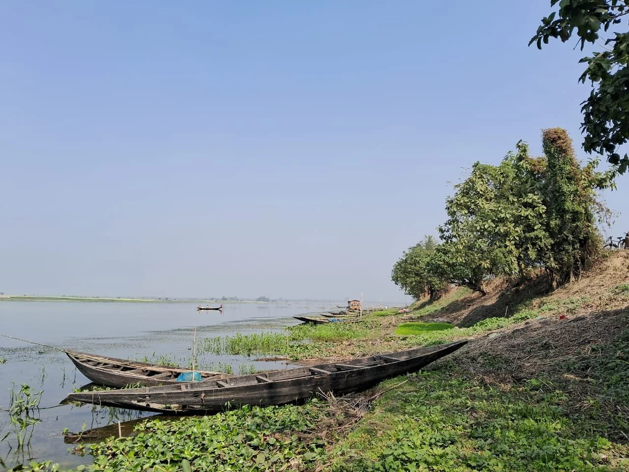
The second site, situated on the lake's convex bank, presents a familiar scenario of a steadily declining river. Siltation is noticeably impeding the flow, while the proliferation of hyacinth is stifling the river's ecosystem and consequently impacting the health and wellbeing of the local population.
The river with agricultural encroachment
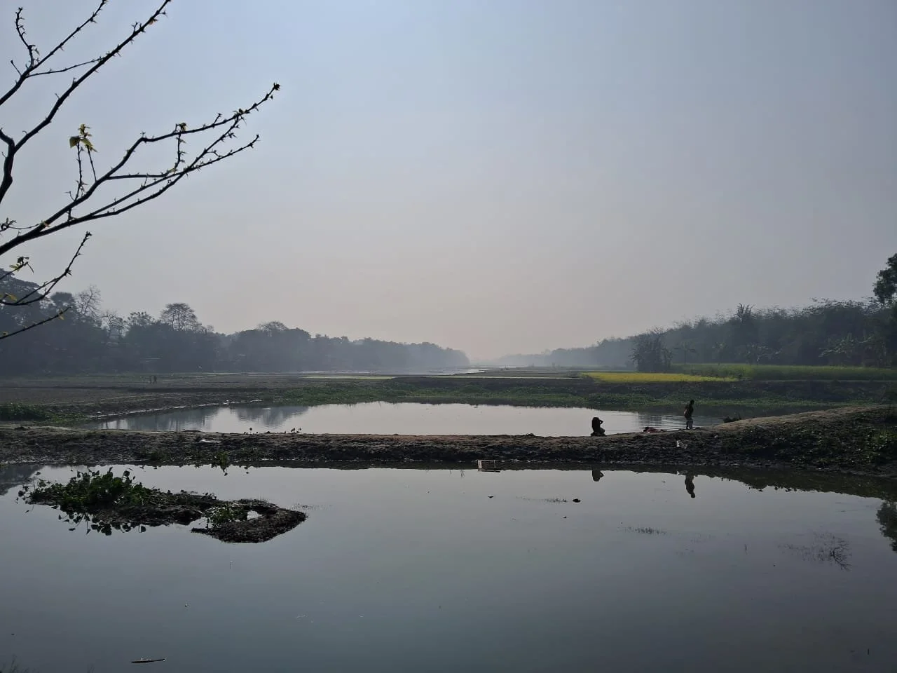
Large swathes of land in the floodplains being used for agriculture
The floodplains in this region are predominantly agricultural, with crops cultivated for about eight months annually. For the remaining four months, the land is submerged due to flooding. Fishing is mainly viable during the rainy season; the catch during the rest of the year is generally insufficient, often failing to meet even the families' subsistence needs, making market sales negligible. This seasonal decline in livelihood opportunities compels many residents to temporarily migrate, seeking employment in nearby areas like the Burdwan district or in other states.

Our citizen researchers interviewing the villagers
Site 3 (May-June, 2025)
The village is situated on the land between the two sections of the lake, severely limiting road access. Consequently, villagers are forced to cross the river for all external travel, whether for work, schooling, or the crucial need for emergency health care. This necessity, however, involves navigating a river choked by both a harmful algal bloom and an excessive growth of water hyacinth.